
View the entire newsletter for more articles: 2021 – NJAC County Biz – December
by Jake Yockel, US Public Sector Account Executive for SAS
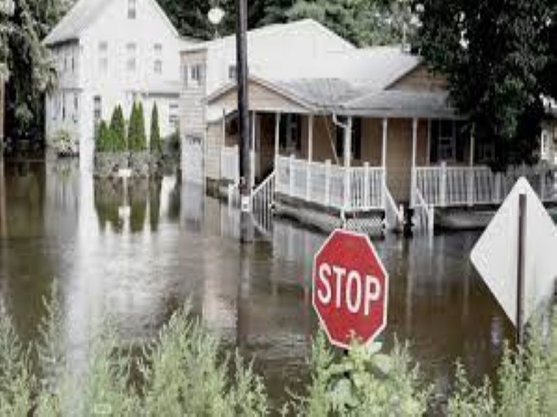
“Why do we call them 100-year storms when they seem to happen every year?” You may have heard a citizen ask this question.
Storm events are becoming more frequent and severe. As new development occurs upstream or in the vicinity of fragile wetlands, rainwater flows over impervious surfaces, surges into creeks and streams, and overflows onto roads and into buildings.
Everyone is talking about building resiliency, but how do we become more resilient in New Jersey when these storm and flood events are so catastrophic? Our current approach of relying heavily on humans to identify rising water, redirect vehicles, evacuate people, and issue alerts is insufficient. Often, emergency responders and citizens only know about flooding as water is rising and it is often too late to prevent damage and unsafe conditions. So, it isn’t surprising that elected and appointed leaders feel like we are losing a battle against flooding.
What can counties do to better understand the threat of flooding, be prepared, and respond swiftly? The answer lies in using data.
With the advent of weather-resistant sensors, fast communications, and advanced analytics, it is now possible to better anticipate, prepare, and respond to flooding.
By using large volumes of historical data from weather systems and data collected by water level sensors systems, we can quickly understand the current flooding environment and predict future flood events. This is accomplished by accessing and preparing relevant weather, environmental, sensor, and development data for modeling, simulation, and insight generation.
As you look to use technology to address flooding, seek a system that provides:
- Seamless integration between sensors, data storage, and analytics
- The means of ingesting copious amounts of sensor data
- Data management and data quality tools to prepare data critical to generating insights
- Interactive visualizations that highlight current dry and wet conditions as well as potential increase in flooding
- An alerting system that notifies emergency workers and citizens about rising water
- Scenario analysis that enables micro-simulations to be performed to better understand the impact of policy and development decisions on streams and floodplains
- Automatic, large-scale forecasting that enables time series and predictive modeling for the most accurate forecasts, given the uncertainty of weather events
- A solution that can use your institutional knowledge and models, allowing comparison to ensure the most accurate models.
With advanced data analytics, counties will be working smarter to be resilient as sea levels rise and the severity of storms increases.